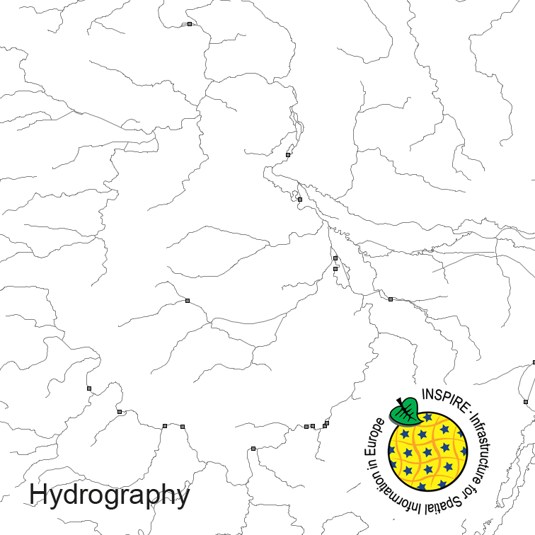
Hydrography of Germany, derived from the german digital landscape model at scale 1:250000. Mapped via EuroRegionalMap to satisfy INSPIRE and European Location Framework conformance. The dataset contains the hydrographic network and physical waters and is available as Open Data.
The data are protected by copyright. In accordance with the "Geodatenzugangsgesetz" (Geodata Access Act), the data are made available free of charge for download and online use, see https://sgx.geodatenzentrum.de/web_public/gdz/lizenz/geozg.pdf. The use of the data is regulat-ed by the "Verordnung zur Festlegung der Nutzungsbestimmungen für die Bereitstellung von Geodaten des Bundes – GeoNutzV" (Regulation on the Determination of the Terms of Use for the Provision of Federal Geodata) of 19 March 2013 (Bundesgesetzblatt Jahrgang 2013 Teil I Nr. 14), see https://sgx.geodatenzentrum.de/web_public/gdz/lizenz/eng/geonutzv.pdf. The source note must be observed.
Der Datensatz für das INSPIRE Thema Annex 1 Geografische Bezeichnungen wurde aus dem ATKIS DLM50 nach der INSPIRE Produktspezifikation der AdV abgeleitet.
Die Nutzung des Dienstes bedarf des Abschlusses einer Nutzungsvereinbarung mit dem Landesamt für Geoinformation und Landentwicklung. Sämtliche Rechte liegen beim LGL. Es gelten die Nutzungsbedingungen: https://www.lgl-bw.de/agb/