Search Maps Data Catalogues API About InGrid Databases Information Providers
Help Contact Site Map Disclaimer Privacy Policy Accessibility
Language:
DE EN
Grav
Search
Maps
Data
Catalogues
API
All results
Geo-Dataset
INSPIRE

Verwaltungsgrenzen Sachsen-Anhalt

Inhalt
  • General
  • Description
    Temporal Reference of Record
  • Spatial Reference
  • References
    Cross References
  • Usage
  • Contact
    Resource Provider
  • Thematic Reference
    Technical Informationen Additional Information Keywords
  • Metadata description

Links (1)

Test für INSPIRE-Validator
Dies ist ein Test!

Use Constraints

Datenlizenz Deutschland – Zero – Version 2.0

Resource Provider

Landesamt für Vermessung und Geoinformation

service@lvermgeo.sachsen-anhalt.de

Preview

img

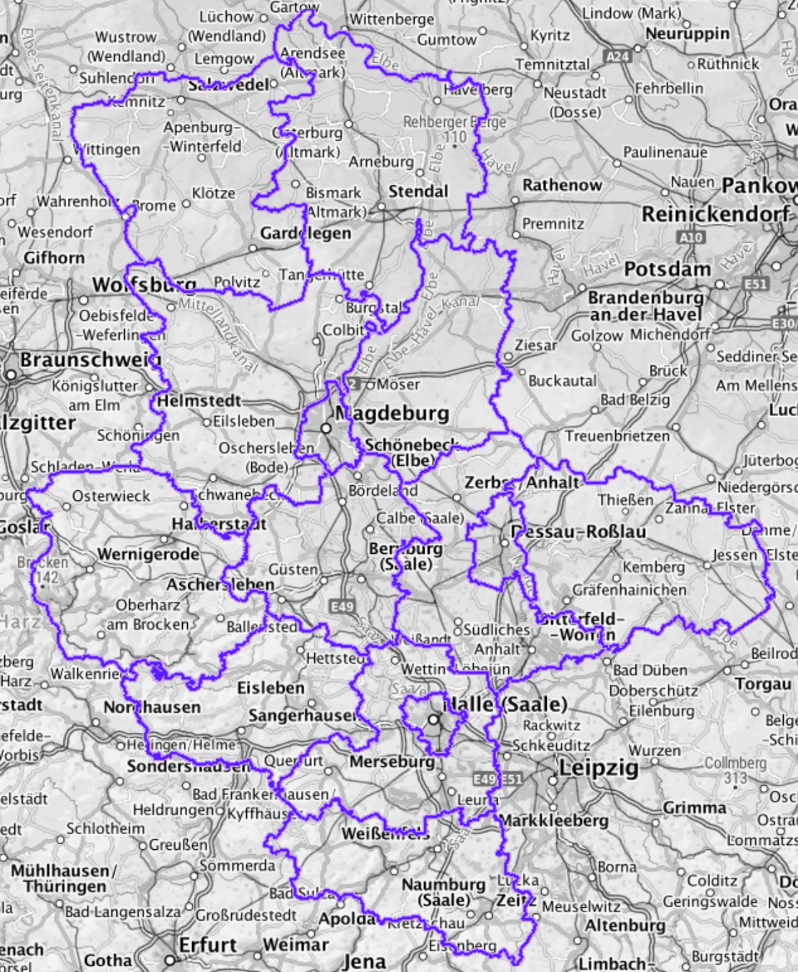
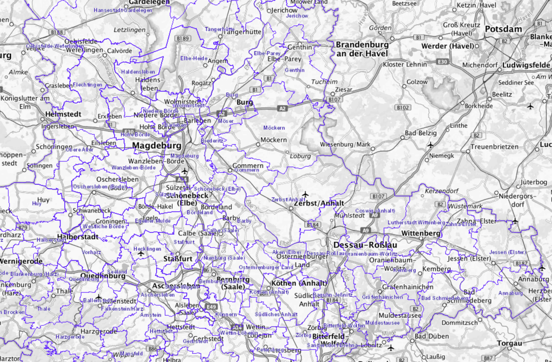
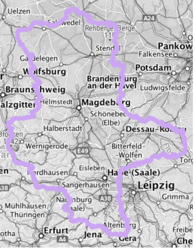
Landkreise Sachsen-Anhalt

img

Gemeinden Sachsen-Anhalt

img

Landesgrenze Sachsen-Anhalt

Description

Layer Verwaltungsgrenze

Temporal Reference of Record

Revision

28.06.2021

Area/Time

Geothesaurus-Reference
SW Longitude/Latitude (WGS84) NO Longitude/Latitude (WGS84)
AU.AdministrativeBoundary 50.938°/10.561° 53.042°/13.187°
Hannover (03241) 9.236°/52.13° 10.31°/52.678°
Spatial Reference System
CRS 84: CRS 84 / mathematisch
EPSG 25831: ETRS89 / UTM Zone 31N
EPSG 25832: ETRS89 / UTM Zone 32N
EPSG 25833: ETRS89 / UTM Zone 33N
EPSG 25834: ETRS89 / UTM Zone 34N
EPSG 3034: ETRS89 / LCC Europe
EPSG 3035: ETRS89 / LAEA Europe
EPSG 3044: ETRS89 / UTM Zone 32N (N-E)
EPSG 3045: ETRS89 / UTM Zone 33N (N-E)
EPSG 3857: WGS 84 / Pseudo-Mercator
EPSG 4258: ETRS89 / geographisch
EPSG 4326: WGS 84 / geographisch
EPSG:102100
EPSG:25830
EPSG:25835
EPSG:25836
EPSG:25837
EPSG:25838
EPSG:3038
EPSG:3040
EPSG:3041
EPSG:3042
EPSG:3043
EPSG:3046
EPSG:3047
EPSG:3048
EPSG:3049
EPSG:3050

References

Links (1)

Geo-Dataset
Test für INSPIRE-Validator
Dies ist ein Test!

Usage

Use Constraints

Datenlizenz Deutschland – Zero – Version 2.0

Contact

Resource Provider

Landesamt für Vermessung und Geoinformation

Otto-von-Guericke-Str. 15
39104 Magdeburg
Germany

service@lvermgeo.sachsen-anhalt.de

Thematic Reference

Technical Informationen

Identifier

https://registry.gdi-de.org/id/de.st/lvermgeo.au.alkis

Thematic Reference

INSPIRE-Richtlinie

Additional Information

Dataset Language

German

Keywords

ISO - Topic Category Boundaries
Search Terms AdV AdV-INSPIRE-Produktspezifikation 1.0.0 AdV-OWS-Basisprofil 1.0 AdV-WMS-Profil 4.0.0 ALKIS Amtliches Liegenschaftskatasterinformationssystem Geobasisdaten infoMapAccessService INSPIRE-WMS_ST_Verwaltungseinheiten_ALKIS inspireidentifiziert Sachsen-Anhalt ST Verwaltungseinheiten Verwaltungsgrenze WMS

Info metadata description

Object-ID

CFEF3146-BAE9-4771-8653-06180E1BB63F

Modified

15.04.2023

Metadata Language

German

Data-Set/Data-Series

Dataset

XML
Download metadata as XML
Point of Contact (Meta data)
martin.klenke@mu.niedersachsen.de
Metadata source
IGC Testsystem
Ministerium für Land- und Ernährungswirtschaft, Umwelt und Verbraucherschutz
Koordinierungsstelle PortalU
PORTAL-NG

InGrid-Portal - Indexieren, Recherchieren, Visualisieren, Teilen
Niedersächsisches Ministerium für Umwelt, Energie, Bauen und Klimaschutz
Help Contact Site Map Disclaimer Privacy Policy Accessibility

Help