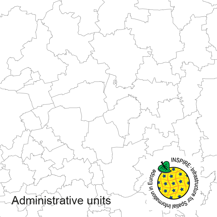
Administrative units of Germany, derived from the german digital landscape model at scale 1:250000. Mapped via EuroBoundaryMap to satisfy INSPIRE and European Location Framework conformance. The dataset is available as Open Data.
The data are protected by copyright. In accordance with the "Geodatenzugangsgesetz" (Geodata Access Act), the data are made available free of charge for download and online use, see https://sgx.geodatenzentrum.de/web_public/gdz/lizenz/geozg.pdf. The use of the data is regulat-ed by the "Verordnung zur Festlegung der Nutzungsbestimmungen für die Bereitstellung von Geodaten des Bundes – GeoNutzV" (Regulation on the Determination of the Terms of Use for the Provision of Federal Geodata) of 19 March 2013 (Bundesgesetzblatt Jahrgang 2013 Teil I Nr. 14), see https://sgx.geodatenzentrum.de/web_public/gdz/lizenz/eng/geonutzv.pdf. The source note must be observed.
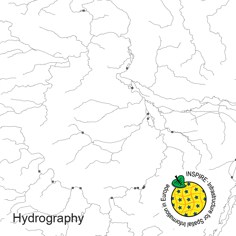
Hydrography of Germany, derived from the german digital landscape model at scale 1:250000. Mapped via EuroRegionalMap to satisfy INSPIRE and European Location Framework conformance. The dataset contains the hydrographic network and physical waters and is available as Open Data.
The data are protected by copyright. In accordance with the "Geodatenzugangsgesetz" (Geodata Access Act), the data are made available free of charge for download and online use, see https://sgx.geodatenzentrum.de/web_public/gdz/lizenz/geozg.pdf. The use of the data is regulat-ed by the "Verordnung zur Festlegung der Nutzungsbestimmungen für die Bereitstellung von Geodaten des Bundes – GeoNutzV" (Regulation on the Determination of the Terms of Use for the Provision of Federal Geodata) of 19 March 2013 (Bundesgesetzblatt Jahrgang 2013 Teil I Nr. 14), see https://sgx.geodatenzentrum.de/web_public/gdz/lizenz/eng/geonutzv.pdf. The source note must be observed.
Statsitik der Runde 4 der Umgebungslärmkartierung für das Gebiet mit einer Einwohnerzahl von über 100.000 Einwohnern und einer Bevölkerungsdichte von mehr als 1.000 Einwohnern pro Quadratkilometer
Statsitik der Runde 4 der Umgebungslärmkartierung für das Gebiet mit einer Einwohnerzahl von über 100.000 Einwohnern und einer Bevölkerungsdichte von mehr als 1.000 Einwohnern pro Quadratkilometer
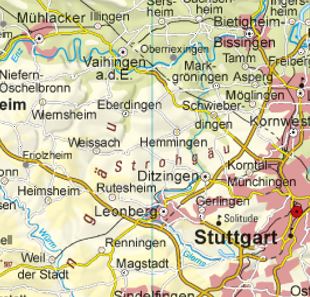
Die Physische Karte BW 1:500 000 präsentiert in maßstabsbezogener Auswahl Siedlungen (größer 3000 EW), das Straßennetz - ab Landesstraßen aufwärts -, Eisenbahnen, Gewässer, die Landesgrenze, Schummerung und farbige Höhenschichten. Die Daten sind als georeferenzierte Rasterdaten (Farbkombi) gekachelt, als Rechteck oder Polygon im Gauß-Krüger-Koordinatensystem in maximal 200 Linien/cm, d.h. 512 dpi verfügbar.
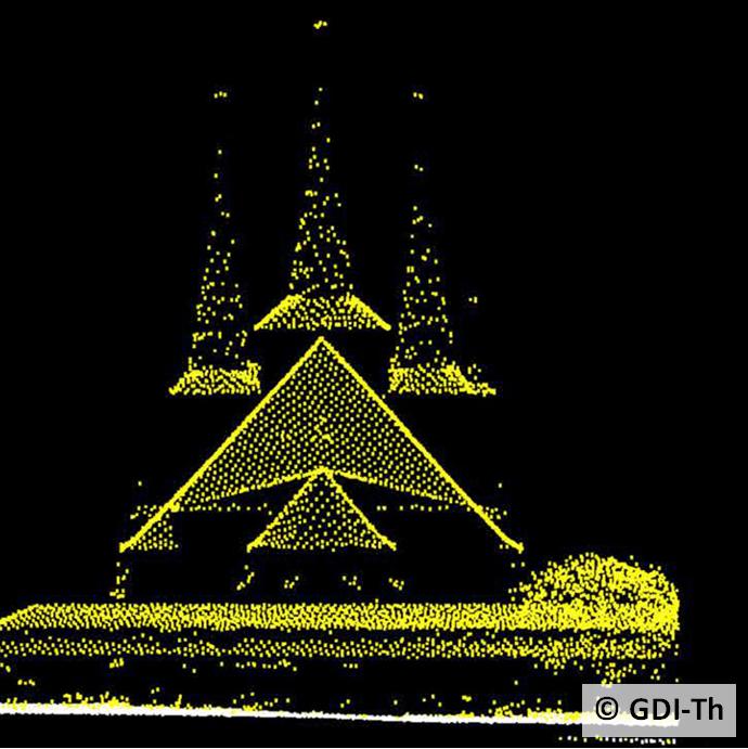
Digitale Oberflächenmodelle (DOM) beschreiben die Erdoberfläche incl Bewuchs und Bauwerke durch ein regelmäßiges oder unregelmäßiges Punktraster, wobei für jeden Rasterpunkt die Lage und die Höhe bekannt sind. Es bildet die Situation zum Zeitpunkt der Erfassung ab. Es wird zwischen verschiedenen DOM je nach Höhengenauigkeit und Rasterweite unterschieden: DOM5 im 5m x 5m-Raster erfasst von 1996 bis 2006; DOM2 im 2m x 2m Raster ab 2010
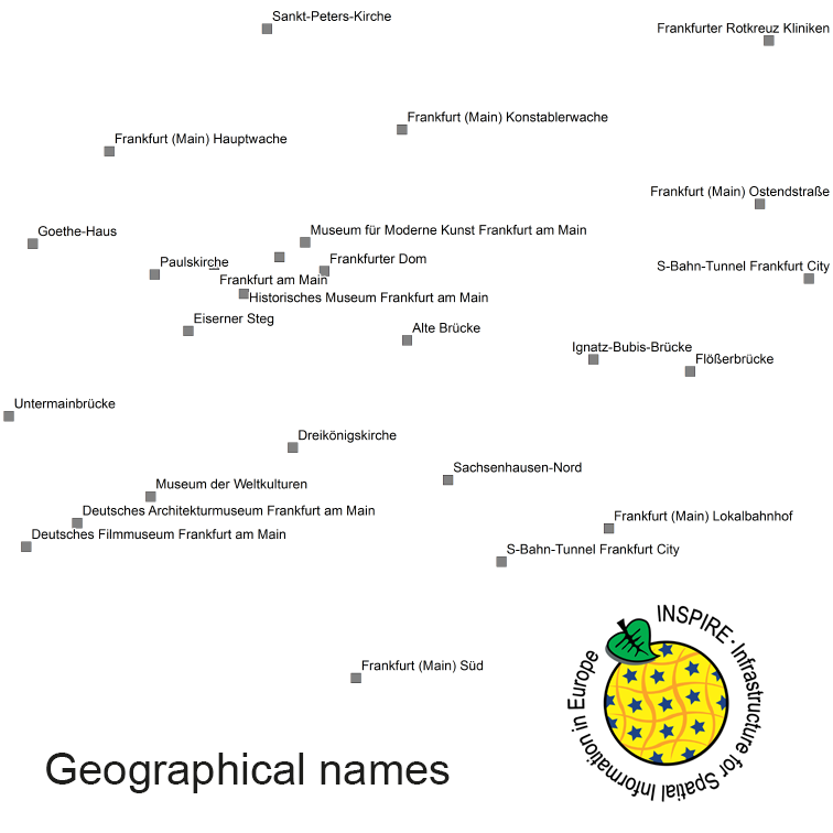
The INSPIRE-conform dataset geographical names Germany is the base for an INSPIRE-conform Web Feature Service (WFS) and Web Map Services (WMS). The dataset includes all relevant feature types from the digital landscape model scale 1:250.000 (DLM250): settlements, transportation, vegetation, hydrography, areas and regions with attributes regarding position (geometry data from DLM250), status and language of the geographical name.
The data are protected by copyright. In accordance with the "Geodatenzugangsgesetz" (Geodata Access Act), the data are made available free of charge for download and online use, see https://sgx.geodatenzentrum.de/web_public/gdz/lizenz/geozg.pdf. The use of the data is regulat-ed by the "Verordnung zur Festlegung der Nutzungsbestimmungen für die Bereitstellung von Geodaten des Bundes – GeoNutzV" (Regulation on the Determination of the Terms of Use for the Provision of Federal Geodata) of 19 March 2013 (Bundesgesetzblatt Jahrgang 2013 Teil I Nr. 14), see https://sgx.geodatenzentrum.de/web_public/gdz/lizenz/eng/geonutzv.pdf. The source note must be observed.